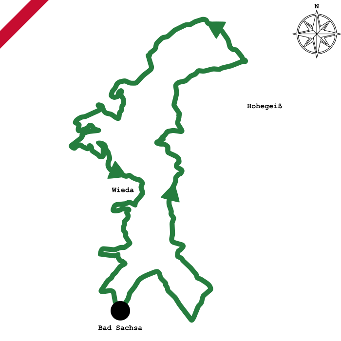
Medium-difficulty mountainbike route over the Kaiserweg, the Stöberhai mountain and through the southern Oberharz starting in Bad Sachsa The route starts in a deciduous forest near Bad Sachsa and follows the course of the river Wieda through untouched nature a short time later. Above the village of Walkenried, the route meets the Kaiserweg, which is popular track for hikers, and follows it with an ascent, with beautiful views to the mountains of the southern Harz. After about a third of the tour, the route leaves the Kaiserweg and leads through a small valley up to the Ebersberg near Hohegeiß. The route continues through a hilly plateau in the Oberharz near Braunlage. After about two thirds of the tour, the route leads to the summit of the Stöberhai mountain, from where wide views to the southern Harz and the Hochharz are possible. With a descent, the route runs into the small village of Wieda and crosses it. The tour then leads back to Bad Sachsa through varied landscape.


 51,5 kilometers
 1.267 vertical metres
 275m(üNN) lowest point
 720m(üNN) highest peak