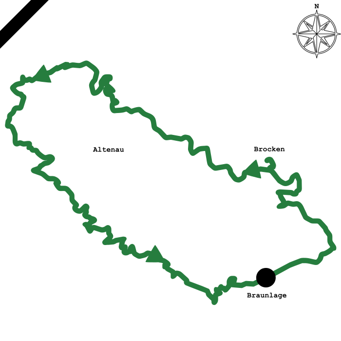
Mountainbike route starting in Braunlage, including long downhill from Brocken into the Oberharz and a varied panorama of the Harz mountains The route starts with a moderate but long climb from Braunlage via Schierke to the highest mountain in northern Germany. The summit of the 1,142 meter high Brocken offers a unique view far over the Harz foreland in good weather. This is followed by a 15-kilometer descent that leads via Torfhaus to Altenau. Once here, it goes along the beautiful Okertalsperre to the next mountain: The Schalke in the Oberharz offers a wide view with a lookout tower. After a short descent along the ponds and canals of the UNESCO World Heritage 'Oberharzer Wasserregal', the route continues over the Oberharz plateau towards Braunlage. It crosses the Acker mountain, the Sieber valley, the Rehberg mountain and the Oder valley.


 93,5 kilometers
 2.050 vertical metres
 417m(üNN) lowest point
 1.142m(üNN) highest peak